
 Marine Protected Area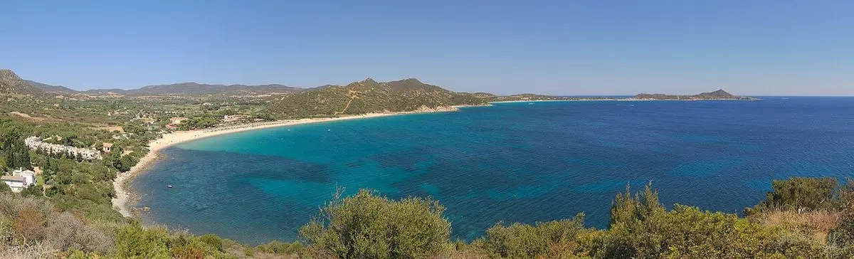
Marine Protected Area
Capo Carbonara
Turquoise water and curious groupers in the Villasimius MPA
Villasimius · South-East
- DifficultyEasy
- AccessFrom shore and by boat
- SeasonMay – October
- SeabedGranite, white sand and seagrass
At a glance: Easy difficulty, access from shore and by boat. Recommended season: May – October. Seabed: granite, white sand and seagrass.
What you will see
- Dusky groupers and octopuses among granite boulders
- Brilliant white sand and turquoise water
- Easy entry points from the shore
- Isola dei Cavoli a short boat ride away
Conditions today
Reading the sea…
Chance of an encounter*


The guide
The Capo Carbonara Marine Protected Area surrounds the Villasimius headland and takes in Isola dei Cavoli and the Serpentara islet. It is one of southern Sardinia’s best-loved spots for the clarity of its water and the richness of its coastal seabeds.
For snorkelling from the shore, the rocky sides of Porto Giunco beach and the Punta Santo Stefano area offer mixed granite and seagrass bottoms at comfortable depths, where octopuses and sea breams can be watched just a few metres below the surface.
Boat trips out to Isola dei Cavoli reach more exposed spots, with walls dropping away quickly and more pelagic wildlife. The MPA zoning applies here too: check which areas are open before getting in the water.
This spot lies within a Marine Protected Area: zoning restricts swimming and boating in some stretches. Rely on authorised operators and check the managing body’s current rules.
Getting there and parking
Villasimius is some fifty kilometres east of Cagliari, reached along the SP17 coast road: it is effectively the only way into the beach area, so expect queues in the middle of the day in August.
From June to October the beach car parks are paid: €10 for a car, €15 for a camper and €5 for a motorbike for the full day. From 16:00 the rate drops to €6 / €9 / €3, and blue-badge holders are exempt.
At Punta Molentis access is capped: entry runs from 08:00 to 20:00 and there is room for 90 vehicles at most, so in high season it fills up early.
Where to get in the water
- Porto Giunco, rocky side
You walk in off the sand and reach the granite boulders while staying at comfortable depths: the easiest entry, fine for a first outing with a mask.
- Punta Santo Stefano
Granite and seagrass alternating just below the surface, with octopuses and sea breams a few metres down. The entry is over rock: best on a flat sea, and wear reef shoes.
- Isola dei Cavoli
Reachable by boat only, on the trips leaving Villasimius: walls dropping away fast and more pelagic wildlife, in water where the MPA zoning applies.
Marine protected area rules
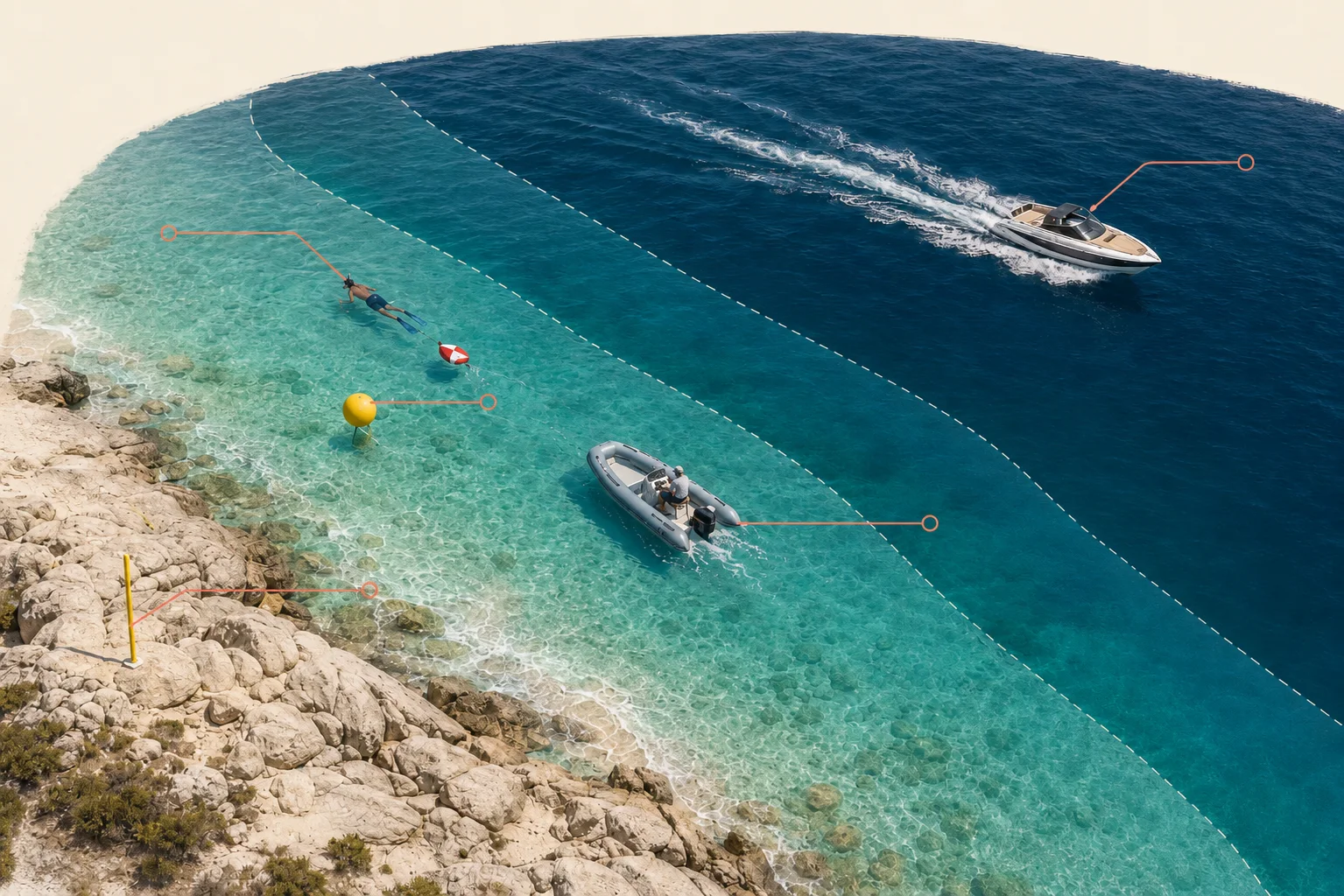
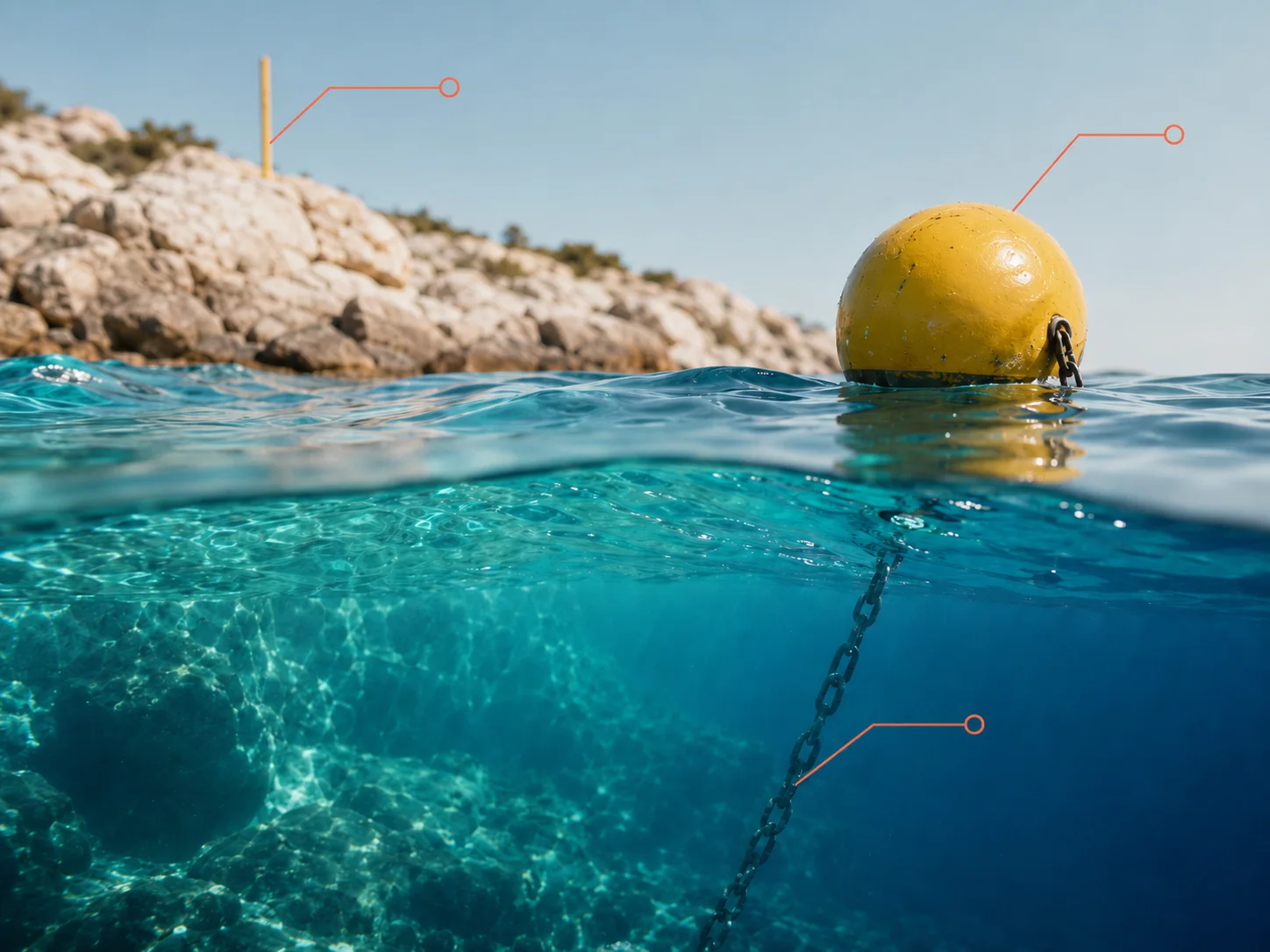
- In zone A (integral reserve) navigation and swimming are forbidden: you do not get in the water at all. The boundaries are marked by yellow buoys at sea and yellow poles on land.
- In zones B and C swimming is allowed and breath-hold snorkelling is free, within the rules of the zone.
- Spearfishing is banned across the whole marine protected area, in every zone and all year round.
- Scuba diving needs authorisation from the managing body: go through an affiliated dive centre.
- Powered navigation is limited to 5 knots within 300 metres of the shore and 10 knots between 300 and 600 metres.
What you can do, zone by zone
| Zone Aintegral reserve | Zone Bgeneral reserve | Zone Cpartial reserve | |
|---|---|---|---|
| Swimming | forbidden | allowed | allowed |
| Breath-hold snorkelling | forbidden | allowed | allowed |
| Scuba diving | forbidden | with authorisation | with authorisation |
| Spearfishing | forbidden | forbidden | forbidden |
| Powered navigation | forbidden | regulated | regulated |
Established by D.M. 3 agosto 1999 · 8,598 hectares · managed by Comune di Villasimius · source
Services on site
- The beach has bars and food kiosks plus umbrella and sunbed hire; there is still a free stretch where you can bring your own.
- Villasimius is a few minutes away and has dive centres and gear rental: anything you are missing can be sorted in town.
Safety
- Emergencies at sea: 1530 (Coast Guard) or 112.
- The stretch between the headland and Isola dei Cavoli is crossed by boats and dinghies: stay close to shore and use a marker buoy if you move away from it.
- With sirocco and levante the sea builds quickly on this side: if the water turns cloudy and the surge picks up, get out.
If the sea is rough, go here
- With sirocco or levanteSan Pietro IslandCarloforte
- With sirocco or levanteMasua and Pan di ZuccheroIglesias
Practical data checked on 25 July 2026 · source
Frequently asked questions
Where can you snorkel from shore at Capo Carbonara?
The best shore spots are the rocky sides of Porto Giunco beach and the Punta Santo Stefano area, with easy entries and modest depths.
Is Capo Carbonara good for families?
Yes: the difficulty is easy, the water is clear and the shore spots let you stay over shallow seabeds.
Do you need a boat for Isola dei Cavoli?
Yes: Isola dei Cavoli is reached on short boat trips from Villasimius, taking in the richest, most exposed spots of the MPA.
Can you snorkel at Isola dei Cavoli?
Yes, in the zones where swimming is allowed: the island is reached only on the boat trips from Villasimius, which stop at the open spots of the MPA. In zone A, the integral reserve, you cannot get in the water at all.
How much is parking at Porto Giunco?
From June to October parking is paid: €10 for a car, €15 for a camper and €5 for a motorbike for the full day. From 16:00 the rate drops to €6 / €9 / €3, and blue-badge holders are exempt.
Do you need a permit to snorkel in the Capo Carbonara MPA?
No: breath-hold snorkelling needs no permit in zones B and C, where swimming is allowed. Authorisation from the managing body is required for scuba diving, and spearfishing is banned everywhere in the area.
When is the best time for Capo Carbonara?
From May to October, with the warmest and clearest water between July and September. In spring the sea is cooler but the spots are quieter and visibility is often better.
Plan your trip
The tours in detail
Learn more
Blog Useful reads for this area
Keep exploring
Other spots
Marine Protected Area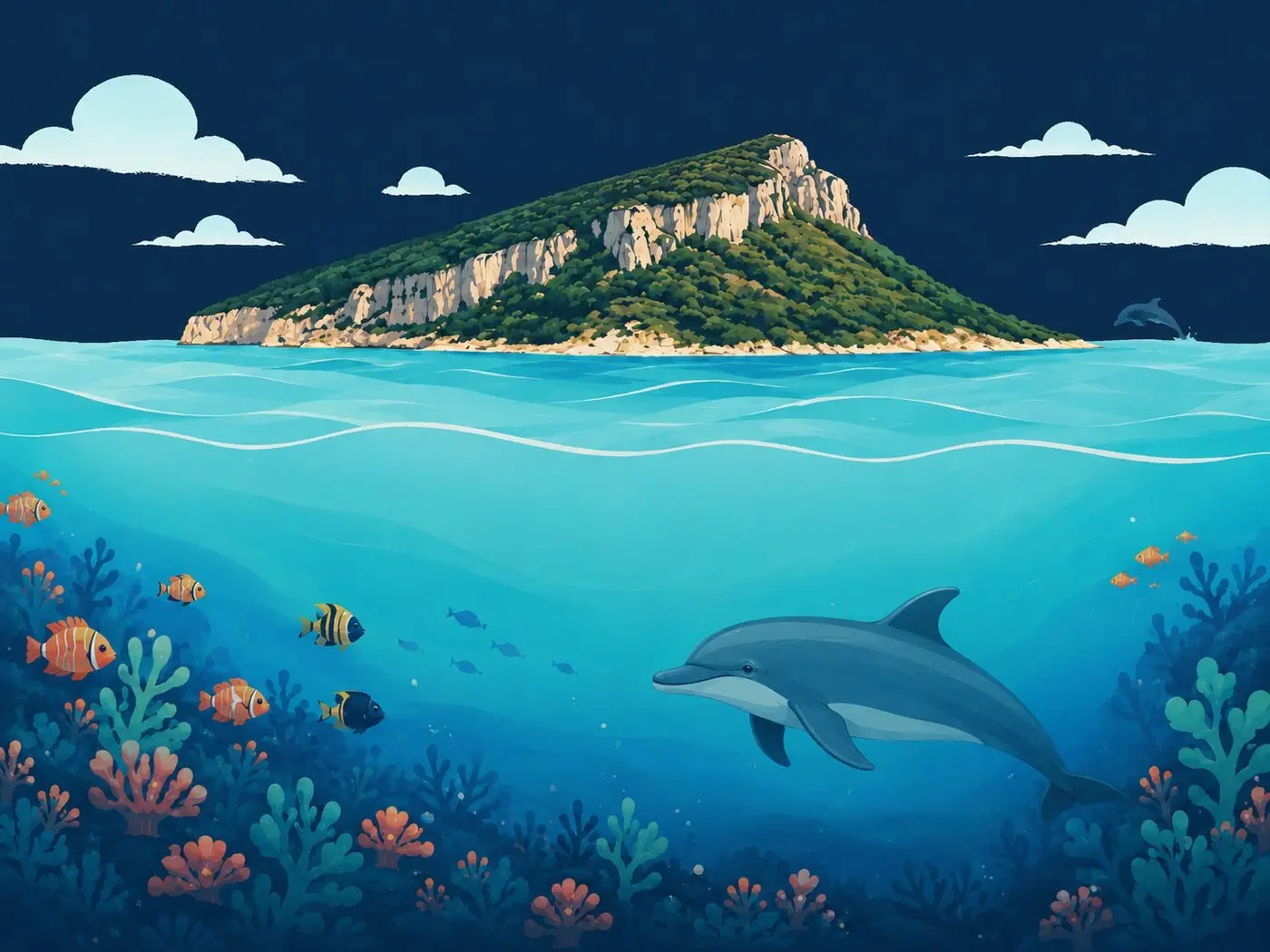 Dolphin gulf
Figarolo Islet
* The encounter percentages are indicative estimates, worked out by combining each species’ typical habitat with the characteristics of the spot. They are not survey data: whether the fish are actually there depends on the season, the weather, the time of day, sea conditions and, not least, a bit of luck. Always respect marine life and the rules of protected areas.