
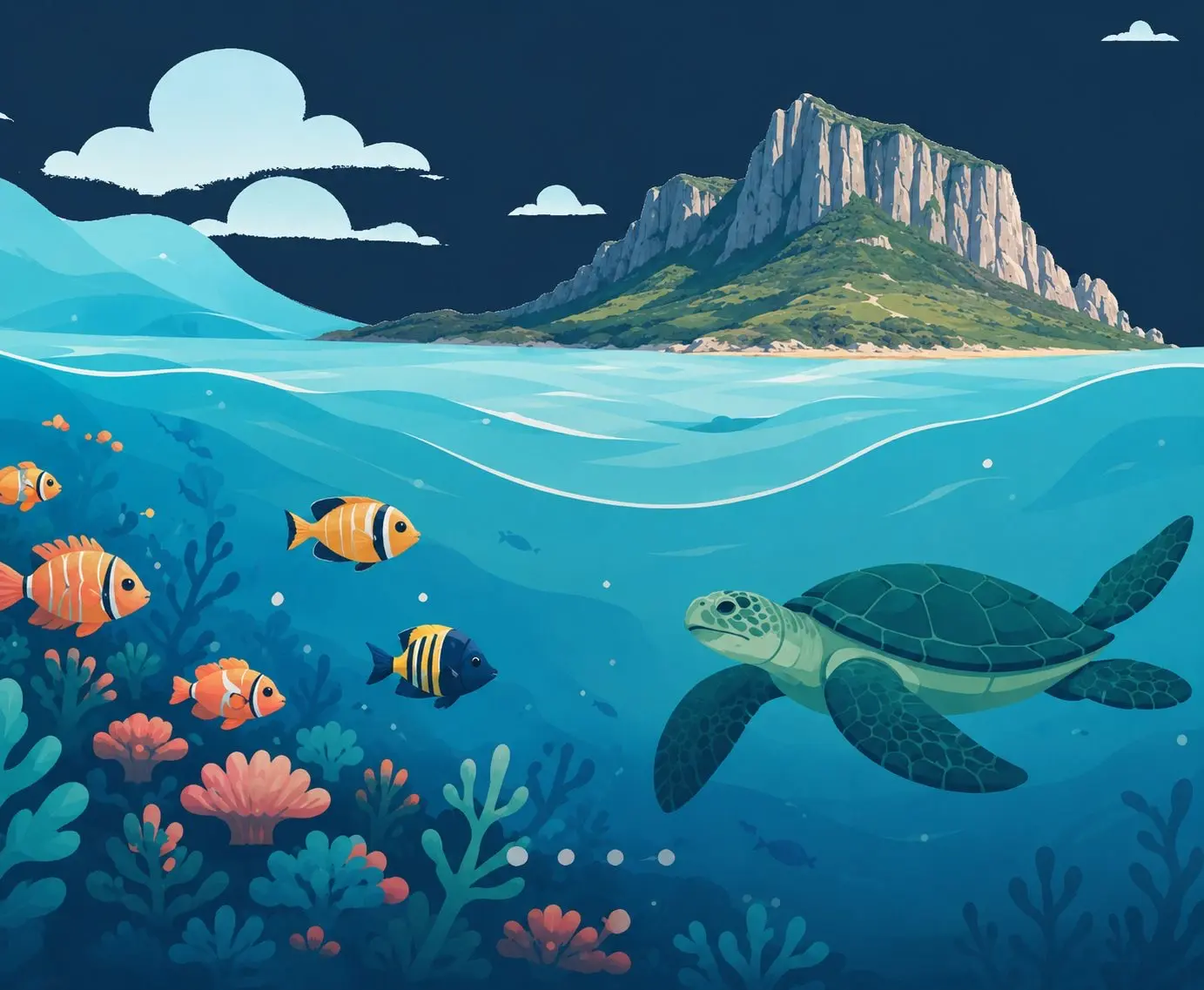
 Marine Protected Area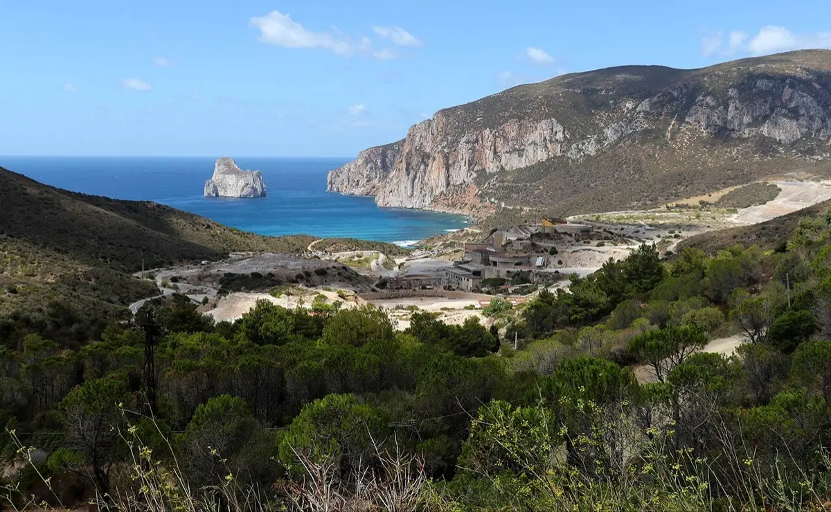
Mining coast
Masua and Pan di Zucchero
The Mediterranean’s tallest sea stack facing cliff-hung mines
Iglesias · South-West
- DifficultyIntermediate
- AccessFrom shore and by boat
- SeasonJune – September
- SeabedRock, arches and fast-dropping seabeds
At a glance: Intermediate difficulty, access from shore and by boat. Recommended season: June – September. Seabed: rock, arches and fast-dropping seabeds.
What you will see
- Pan di Zucchero, 133 metres of limestone rising from the sea
- Porto Flavia, the mining gallery carved into the cliff
- Arches and caves at the base of the stacks
- Sunsets that set the whole coast on fire
Conditions today
Reading the sea…
Chance of an encounter*


The guide
The coast between Nebida and Masua is a piece of mining history suspended over the sea: tunnels, ruined washeries and Porto Flavia, the ore-loading dock carved inside the cliff in 1924, still open to visitors. Offshore, alone in the blue, stands Pan di Zucchero: at 133 metres, the tallest sea stack in the Mediterranean.
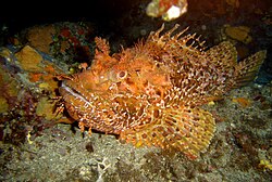
From Masua beach you get in and follow the walls towards the smaller rocks; at the base of the stack, reached on boat or kayak trips, there are through-arches and crevices where sea breams, brown meagre and scorpionfish gather. The dark rock and deep water give the place a more dramatic character than the east-coast beaches.
This stretch is exposed to the mistral: with a north-westerly the water clouds and the sea builds quickly, so pick calm days. In return the coast faces west and the sunsets behind Pan di Zucchero are among the island’s finest: the last swim of the day counts double here.
Frequently asked questions
Where do you get in the water at Masua?
From Masua beach, following the walls towards the rocks; the base of Pan di Zucchero is reached on boat or kayak trips.
How tall is Pan di Zucchero?
133 metres: it is the tallest sea stack in the Mediterranean, with through-arches and crevices at its base.
When should you avoid this coast?
In a mistral: the stretch faces north-west, the water clouds and the sea builds quickly. Pick calm days.
Plan your trip
The tours in detail
Keep exploring
Other spots
Marine Protected Area Marine Protected Area
Capo Carbonara
* The encounter percentages are indicative estimates, worked out by combining each species’ typical habitat with the characteristics of the spot. They are not survey data: whether the fish are actually there depends on the season, the weather, the time of day, sea conditions and, not least, a bit of luck. Always respect marine life and the rules of protected areas.